THE contrast between the first and last bridges linking Cornwall with Devon could hardly be greater.
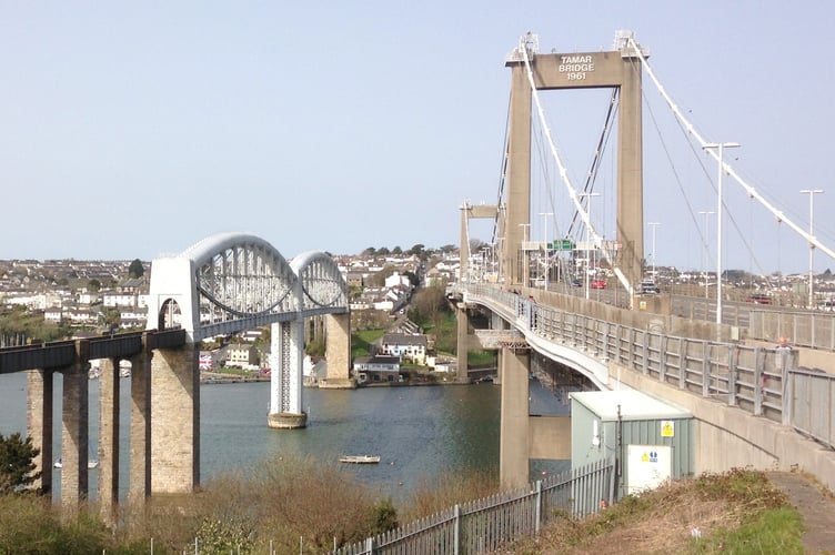
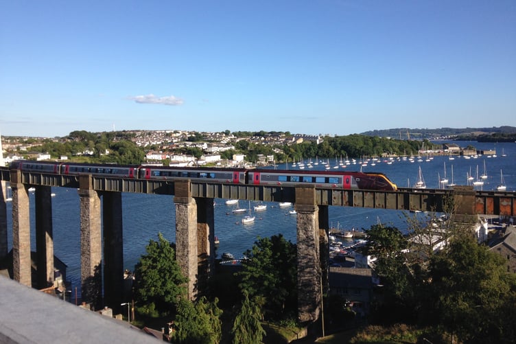
Brunel’s masterpiece, dating from 1859, is accompanied by the sounds and scenes of the Tamar Bridge, the road bridge opened in the early 1960s and widened at the turn of the 21st century.


Away at Marsland Mouth there’s the trickle of the Marsland Water stream which wells up around three miles inland on ground over 600ft (200m) above sea level – less than a mile from where the River Tamar has it source at the start of its 61-mile journey to the English Channel.
The Tamar gradually descends to the south coast while the Marsland Water tumbles through a steep valley to meet the ocean.
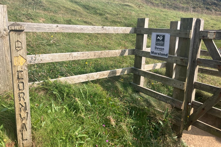
The Tamar marks the boundary between Devon and Cornwall for much of its course, though the border doesn’t always follow the waterway. Similarly, the Marsland Water forms part of the boundary for much of its route.
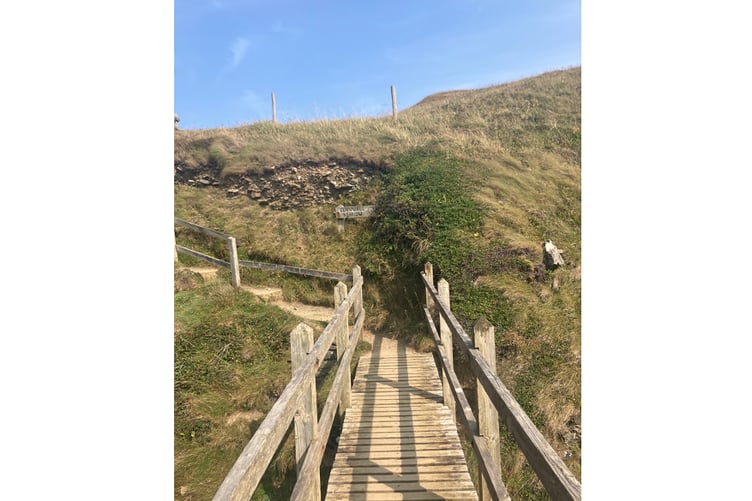
The River Tamar, with its wide expanse, continues its journey south of the Royal Albert Bridge, passing the huge dockyard at Devonport on its way to Plymouth Sound, while the north coast stream passes under the wooden bridge on the South West Coast Path before quickly joining the sea.
Marsland Mouth offers walkers two contrasting options for travelling to Plymouth. The arm of a Circuit of Cornwall signpost pointing along the coast path says the city is 300 miles away. While a separate arm tells walkers the conurbation is reachable in 87 miles via the Tamara Coast To Coast Way.
• Andrew Townsend is a journalist and writer. He further explores the county in the travel book, Cornwall Favourites For One And All!: A Quick Guide To Good Places To Visit Across The County, which is available in print and as an ebook. More details on Andrew’s books and ebooks can be found via this link to his author page on Amazon - bit.ly/AndrewTownsendAuthor
Comments
This article has no comments yet. Be the first to leave a comment.